

On March 1, 2025 in Ho Chi Minh City, the President of the Vietnam Engineering Consultant Association (VECAS) awarded Certificates of Completion to participants who passed the exam in the 3-day course “GIS application in Urban Planning”.
GIS is a Geographic Information System that has been applied for many years globally and has become an indispensable technology for the management, establishment, approval, and storage of data in many fields in Vietnam. In the construction sector, GIS is the technology chosen by the Ministry of Construction to serve digital transformation in Decision No. 1004/QD-BXD dated July 31, 2020 “Digital Transformation Plan for the Construction Industry in the period 2020 – 2025, with a vision to 2030“.
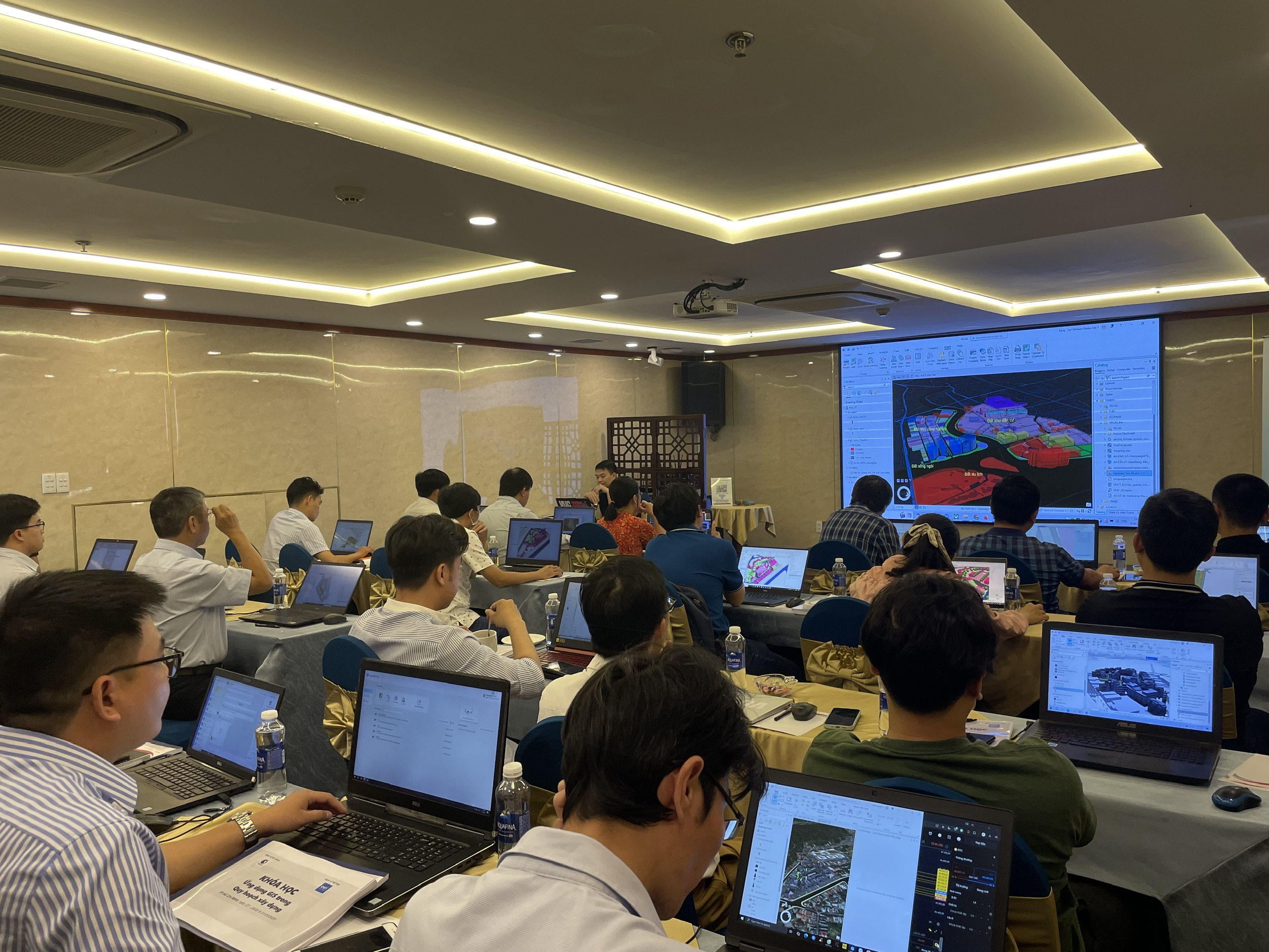
The GIS Application in Urban Planning course is organized by the Vietnam Engineering Consultant Association with the support of Esri Vietnam Co., Ltd. in terms of expertise and technology platform used in the course. The course will help participants grasp the steps to build a GIS database in planning according to the regulations of the Ministry of Construction, convert planning data from CAD to GIS …
By attending the course, participants will be equipped with the necessary knowledge and skills about GIS technology to apply in practical work. Specifically:
- Understand the basic concepts of GIS;
- Update on the current status of GIS being deployed in the field of planning and construction in Vietnam;
- Get acquainted with software and tools to initialize GIS databases in planning;
- Practice converting data from CAD to GIS;
- Be guided in applying GIS in planning work: building 3D models, surveying, updating data;
- learn more about GIS applications in the domestic and international construction sector.
The training program will continue to be organized by VECAS in Hanoi next week.